Piauí Residents Can Now Report Floods and Fires on Interactive Map
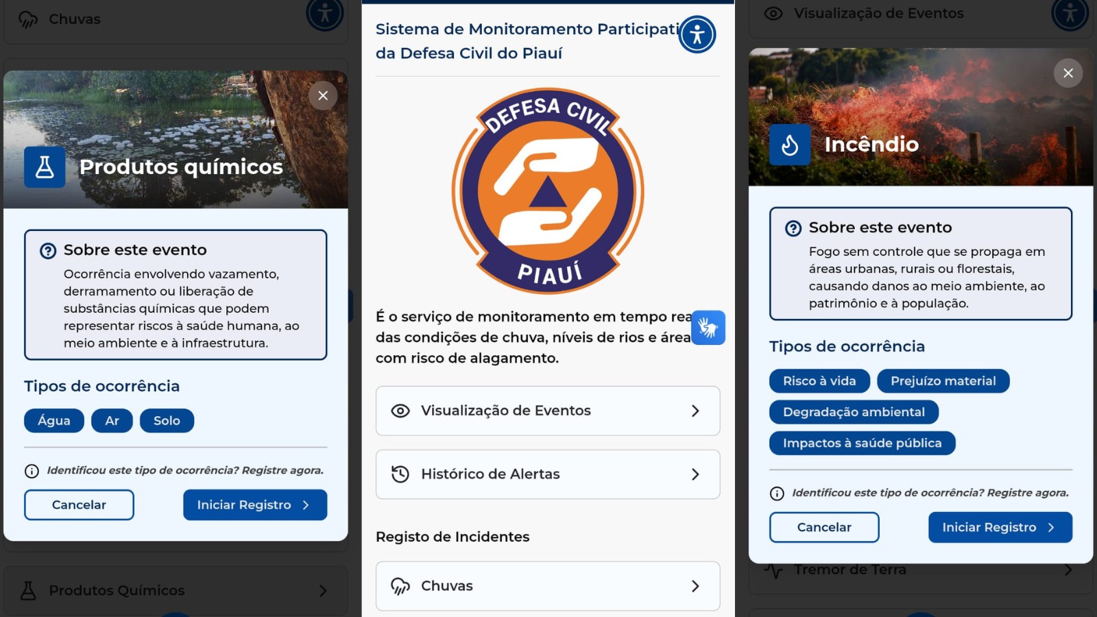
Residents of Piauí, Brazil, can now digitally report occurrences of heavy rain, floods, and fires through a new interactive map service called 'Óia o Risco'. Launched on Monday, the free tool allows users to pinpoint and document locations of natural disasters and risk areas via the Gov.PI Cidadão mobile application. The service aims to create a network connecting citizens, communities, and public officials for more efficient disaster prevention, monitoring, and response efforts. Users can report a wide range of incidents, including dam bursts, overflowing rivers, strong winds, tremors, soil erosion, landslides, and chemical leaks posing environmental or health risks. Each report can include a description, photos, and videos, and users can also view historical occurrences and related alerts. The platform centralizes information for Civil Defense agents and also allows submissions via WhatsApp using an AI assistant named Sílvia. The 'Óia o Risco' service was developed by the Piauí State Information Technology Company (Etipi) in collaboration with the State Civil Defense Secretariat (Sedec). To access the tool, users need to download the Gov.PI Cidadão app from their mobile app store, find the 'Óia o Risco' feature, select the location of the incident, and add a description with supporting media.
The 'Óia o Risco' initiative represents a pragmatic application of citizen-sourced data and digital platforms to enhance public safety and disaster management. By empowering residents to report risks and natural events directly, the Piauí state government is leveraging community intelligence to supplement official monitoring capabilities. This approach can lead to faster response times and more targeted resource allocation, particularly in a region prone to environmental challenges. The integration of AI via the WhatsApp chatbot further streamlines data collection and accessibility. Looking ahead, the effectiveness of such systems hinges on robust data validation, clear communication protocols with civil defense agencies, and ensuring equitable access for all residents, regardless of their technological proficiency. This model could serve as a scalable blueprint for other regions seeking to improve their resilience to climate-related events.
AI-generated to prompt reflection — not editorial opinion, not advice, not a statement of fact. How this works.