Piracicaba Region Faces Temperature Swings: Warm Spell Ends with 31°C Before Cold Front Arrives
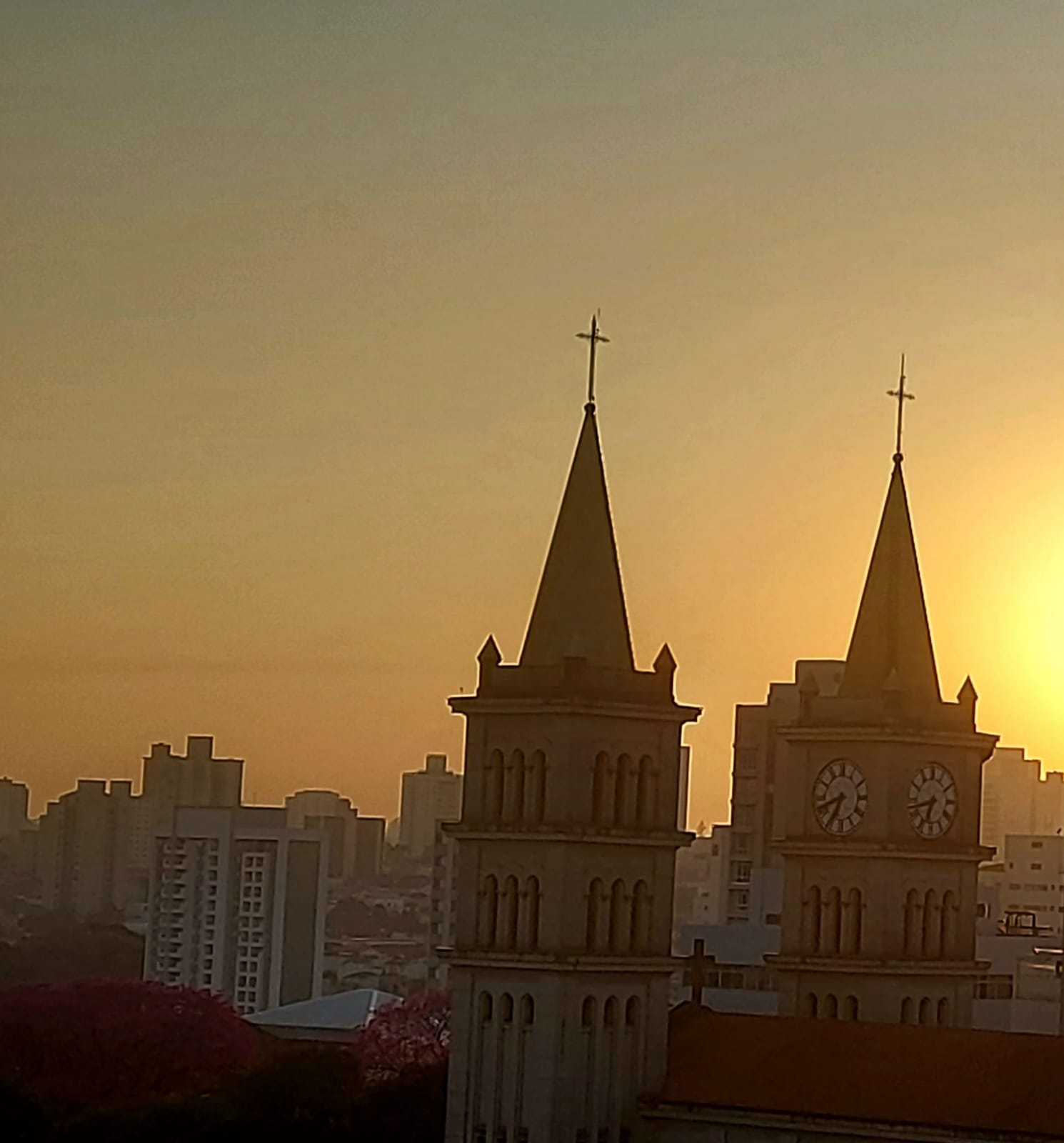
The Piracicaba region in São Paulo, Brazil, is experiencing the final day of an unseasonably warm spell, with temperatures expected to reach up to 31°C on Wednesday, July 22nd. This "veranico" phenomenon, common during winter, is characterized by warmer days and low humidity, with the current episode seeing maximum temperatures 2°C to 5°C above the July average. However, this warm weather is set to conclude as a cold front approaches, promising a significant shift in weather patterns across the state starting Thursday, July 23rd. The approaching front is expected to bring cooler temperatures, with highs not exceeding 25°C on Thursday, and a potential drop of up to 8°C in the São Paulo metropolitan area. The change will begin late Wednesday into Thursday night, with increased cloudiness and scattered showers, particularly in the western, southwestern, southern, and southern coastal parts of the state. This shift is reinforced by a mid-level atmospheric trough, which could lead to isolated thunderstorms. The "veranico" has coincided with extremely low relative humidity, prompting a yellow alert from INMET for dangerously dry air, with levels between 30% and 20%, significantly below the WHO's recommended 60% for well-being and increasing fire risk. This dry period follows a notably rainy June, the wettest in a decade for Piracicaba, with July initially seeing no rain for the first ten days before a brief 12.7mm accumulation on July 11-12, followed by another dry, warm spell. Piracicaba recorded its coldest day of 2026 on July 15th, with a low of 4.8°C, a record surpassed from earlier readings in May.
The juxtaposition of record-breaking cold and unseasonably warm "veranico" periods highlights the increasing volatility in regional weather patterns, potentially linked to broader climate shifts. The low humidity alert underscores the public health and safety risks associated with such extreme temperature and moisture fluctuations. Understanding the interplay between atmospheric blocking, cold fronts, and regional precipitation patterns is crucial for anticipating future weather extremes and developing adaptive strategies for agriculture and public health. The meteorological data, while specific to a short period, offers a case study in how diverse weather phenomena can manifest within a single season, prompting a need for robust forecasting and public preparedness.
AI-generated to prompt reflection — not editorial opinion, not advice, not a statement of fact. How this works.