Rainfall Recorded Across Eastern, Central, and Southern Mauritania
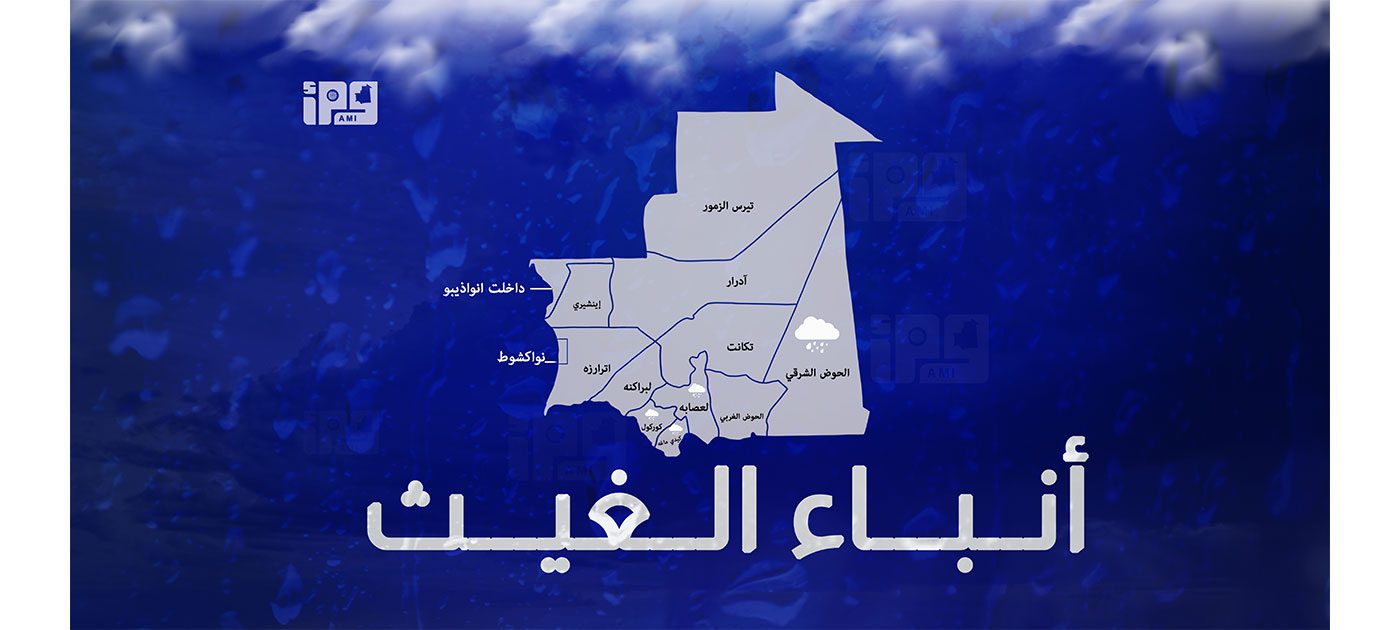
Mauritania experienced scattered rainfall on July 11, 2026, across various regions in the eastern, central, and southern parts of the country. The Ministry of Interior, Decentralization and Local Development's Department of Administrative Communications reported precipitation in the Hodh Charghi, Assaba, Gorgol, and Guidimaka wilayas. Specifically, in the Hodh Charghi wilaya, the Nema district recorded significant amounts, with El Mbrouk receiving 45 mm, Andeijina 16 mm, and Bir-Gafate 15 mm. Nema itself registered 6 mm of rain. The report indicates these are preliminary figures from various rain gauges across the affected areas. The distribution of rainfall suggests localized weather patterns impacting these provinces.
The reporting of rainfall figures in specific Mauritanian regions highlights the importance of meteorological data for agricultural planning and water resource management in arid environments. Such localized data can inform regional development strategies and provide critical insights into climate variability. Understanding the distribution and intensity of these events is key for assessing their impact on local economies and infrastructure, particularly in areas reliant on consistent water sources. Future analysis could explore the correlation between these rainfall patterns and broader climate trends, as well as the effectiveness of existing water management infrastructure in response to such events.
AI-generated to prompt reflection — not editorial opinion, not advice, not a statement of fact. How this works.