Rio Grande do Sul braces for severe storms, 'atmospheric rivers' to blame
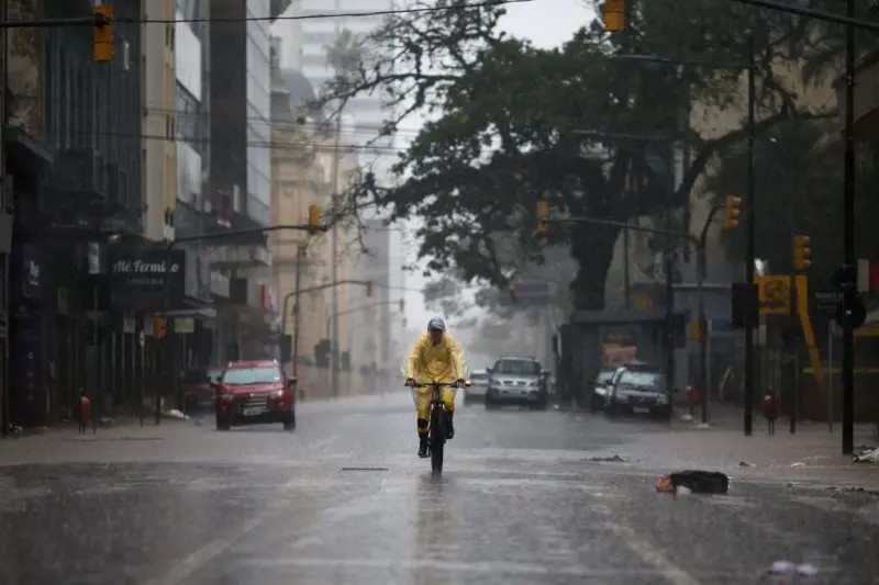
The Civil Defense of Rio Grande do Sul has issued a severe storm alert for the state, effective from Thursday, May 16th, through Saturday, May 18th. The most critical period is anticipated between Friday night and Saturday morning. The alert warns of potential thunderstorms with strong wind gusts and hail in the western, Campanha, and southern regions, with a risk of tornadoes also mentioned. Rainfall accumulation could reach 150mm, with some of this concentrated in short periods, and wind gusts ranging from 60 to 100 km/h are expected. This alert from the Civil Defense complements a warning from the National Institute of Meteorology (Inmet) regarding potential danger from thunderstorms in the western and southern parts of the state on Thursday. Conditions are predicted to worsen significantly by Friday and Saturday, leading to a broader danger warning for thunderstorms encompassing nearly the entire state, including the Porto Alegre Metropolitan Region. A key factor contributing to these storms is the Low-Level Jet (JBN), commonly referred to as 'atmospheric rivers' or 'flying rivers'. This phenomenon is an intense current of wind, approximately 1 to 3 km in altitude, that transports warm, moist air from the Amazon towards South-Central South America, fueling storm formation. When the JBN interacts with frontal systems from the south, it increases atmospheric instability and moisture convergence, leading to severe thunderstorms, particularly as it is expected to be intense over the Southern Region during this period. The National Center for Monitoring and Early Warning of Natural Disasters (Cemaden) also forecasts heavy rains for Southern Brazil, with a stationary cold front expected from Thursday until Monday, resulting in several consecutive days of significant rainfall. While 'flying rivers' are expected to have some influence, their impact is noted as less significant during the colder, drier winter season for Amazonian moisture transport to the south. Meanwhile, Chile is also anticipating severe weather from a powerful atmospheric river advancing from the Pacific Ocean, potentially reaching Category 4 or 5 intensity, bringing extreme rain, storms, and heavy snowfall to the Andes.
The forecast of severe weather in Rio Grande do Sul, driven by phenomena like atmospheric rivers, highlights the increasing intensity and frequency of extreme weather events. These atmospheric rivers, essentially concentrated corridors of water vapor, are becoming more potent due to global warming, which increases atmospheric moisture content. While these systems have historically played a vital role in regional water cycles, supporting agriculture and ecosystems, their amplified intensity poses significant risks of flooding and landslides. The interaction between these moisture-laden currents and frontal systems creates a volatile environment for severe storm development. Future climate projections suggest a continued trend of intensifying atmospheric rivers, necessitating robust infrastructure and adaptive strategies for water management and disaster preparedness across affected regions. Understanding the dynamics of these phenomena is crucial for mitigating risks and ensuring resilience in vulnerable areas.
AI-generated to prompt reflection — not editorial opinion, not advice, not a statement of fact. How this works.