Rio Grande do Sul braces for severe storms with heavy rain, high winds, and hail
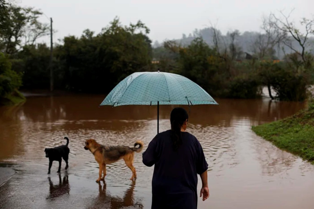
The Civil Defense of Rio Grande do Sul has issued a warning for a new period of severe weather expected from Sunday, May 26th, to Tuesday, May 28th. The forecast includes thunderstorms, heavy rainfall, strong winds, and an increased risk of flooding across various regions of the state. Isolated thunderstorms, accompanied by heavy rain, gusts of wind, and hail, are anticipated to begin on Sunday in the Northwest, North, Northeast, Serra, Porto Alegre Metropolitan Region, and North Coast areas.
According to Climatempo Meteorology, the unstable conditions are attributed to a low-pressure system forming between Paraguay and northern Argentina, coupled with a cold front advancing over the state. This combination is expected to bring rain to nearly all regions of Rio Grande do Sul. In addition to rain, the forecast includes electrical discharges, winds ranging from 70 km/h to 90 km/h, and isolated instances of hail. The most concerning scenario is predicted for Monday, May 27th, and Tuesday, May 28th, with more intense storms, larger hail, winds potentially exceeding 90 km/h, and significant rainfall accumulation within a short period. The Western, Campanha, Central, Southern, Costa Doce, Metropolitan, Vales, Serra, and Coastal regions could experience accumulations surpassing 120 millimeters, potentially reaching up to 200 millimeters over 48 hours.
Several municipalities, including Uruguaiana, São Borja, Santa Maria, São Gabriel, Santa Cruz do Sul, Camaquã, Porto Alegre, Gramado, and Tramandaí, have been placed on alert due to the high potential for severe thunderstorms. Other areas, such as Santa Rosa, Passo Fundo, Erechim, Frederico Westphalen, Vacaria, São José dos Ausentes, Pelotas, Rio Grande, and Chuí, remain on attention for isolated storms. The Civil Defense also warns of potential flash floods in small watercourses, urban flooding, and rising levels in major rivers like the Jacuí, Uruguai, and Ibirapuitã, particularly in sections between São Borja and Uruguaiana, from Dona Francisca to the Jacuí Delta, and along the Ibirapuitã River. Residents are advised to monitor official warnings, avoid travel during storms, stay clear of flooded areas and trees, and follow emergency service instructions.
This forecast highlights the escalating frequency and intensity of extreme weather events in Southern Brazil, likely exacerbated by broader climate shifts. The confluence of atmospheric systems indicates a high-impact event, testing the resilience of infrastructure and emergency response capabilities. The Civil Defense's proactive alert system and public guidance are crucial, but the scale of potential rainfall and wind speeds raises questions about the adequacy of existing flood control measures and urban planning in vulnerable areas. Future preparedness will require integrating advanced meteorological forecasting with long-term climate adaptation strategies, focusing on sustainable land use and resilient infrastructure to mitigate recurrent risks and protect communities from increasingly severe weather patterns.
AI-generated to prompt reflection — not editorial opinion, not advice, not a statement of fact. How this works.