Rio Grande do Sul faces extreme weather: heatwave followed by severe storms and hail
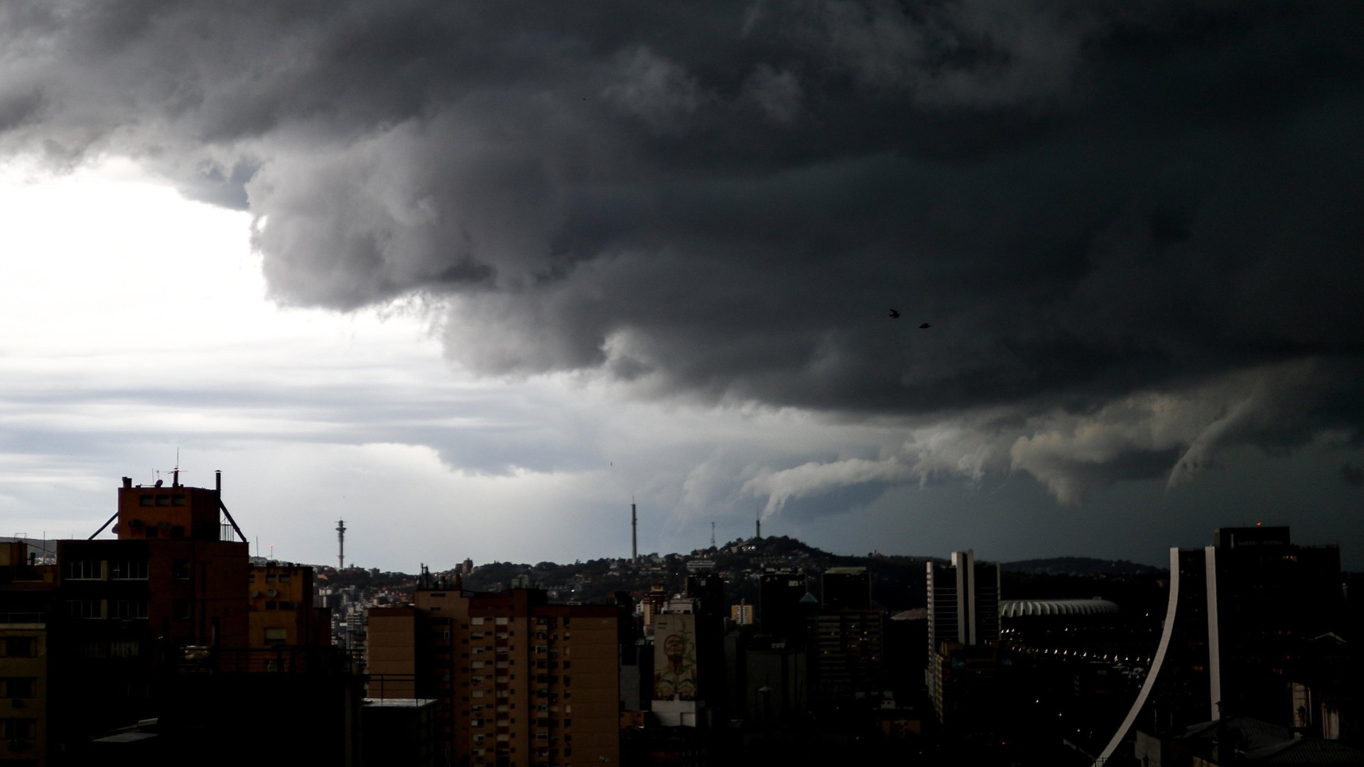
Rio Grande do Sul (RS) is set to experience a dramatic shift in weather patterns, moving from sub-zero temperatures to an atypical heatwave followed by severe storms. Between Thursday, May 16th, and Saturday, May 18th, temperatures are predicted to reach as high as 32°C across various regions of the state. On Thursday, the Western Frontier and the Taquari, Caí, and Sinos valleys can expect highs between 27°C and 29°C. By Friday, the Western Frontier and Central Region will see temperatures from 27°C to 29°C, while the Taquari, Rio Pardo, Sinos, and Paranhana valleys, along with the Metropolitan Region of Porto Alegre, including Campo Bom and Novo Hamburgo, could reach 30°C to 32°C. This heat is expected to persist into Saturday, with Torres reaching 27°C to 29°C and the metropolitan areas maintaining highs of 30°C to 32°C. Towards the end of the week, severe weather is forecast, beginning in areas bordering Uruguay. The risk includes extreme phenomena such as tornadoes and microbursts. On Thursday, a cold front will cause storms to develop from the afternoon into the evening, particularly affecting the Western Frontier, Campanha, and Southern regions, with potential for hail and wind gusts between 70 and 90 km/h. Climatempo Meteorologia warns of supercell formation capable of producing microbursts and tornadoes, with rainfall potentially reaching 50mm, or up to 70mm in isolated spots. By Friday, instability will spread statewide, bringing more widespread storms and intense winds, especially in the Campanha, Western Frontier, Central, Southern, Costa Doce, and Metropolitan regions, with rainfall between 10mm and 30mm, possibly up to 60mm. Saturday's forecast indicates frequent rain and potential for disruptions, flooding, and rising water levels in streams and creeks as the cold front moves north, impacting the Missões, Central, Planalto, Northern, and Rio Pardo and Taquari valleys.
The forecast for Rio Grande do Sul highlights the increasing volatility of weather systems, a trend consistent with projections of climate change impacts. The rapid transition from cold to extreme heat, followed by severe thunderstorms, underscores the challenges in adapting infrastructure and public safety protocols to unpredictable meteorological events. The potential for phenomena like tornadoes and microbursts, exacerbated by atmospheric instability, necessitates robust early warning systems and community preparedness. Understanding the influence of El Niño in this context is crucial for long-term planning, as such extreme weather events can have significant economic and social repercussions, impacting agriculture, infrastructure, and daily life. Future resilience will depend on integrated strategies that combine climate science, advanced forecasting, and effective disaster management.
AI-generated to prompt reflection — not editorial opinion, not advice, not a statement of fact. How this works.