Rio Grande do Sul Faces Severe Storms and Tornado Risk Until Weekend
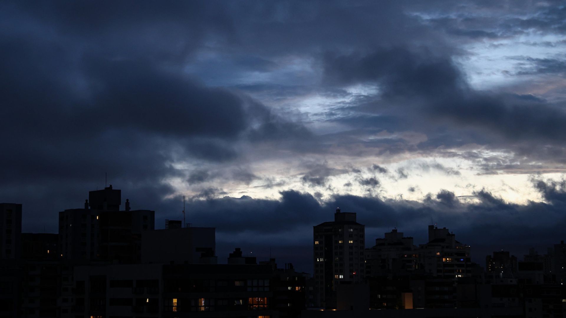
The Civil Defense in Rio Grande do Sul, Brazil, has issued warnings for severe thunderstorms, hail, strong winds, and potential tornadoes, expected to persist until the end of the weekend. The most critical period for these atmospheric instabilities is forecast between Friday night, May 17th, and Saturday, May 18th. This follows recent severe storms that impacted areas like Eldorado do Sul, near Porto Alegre. The approaching weather system is attributed to a cold front forming in Argentina, combined with intense heat and humidity from northern Brazil, a trough, and an atmospheric block. The state's Civil Defense has issued a "laranja" (orange) alert for thunderstorms and a "amarelo" (yellow) alert for isolated storms. Wind speeds are predicted to reach up to 90 km/h in areas without rain, with gusts exceeding this during precipitation, and conditions are favorable for tornado formation. On Thursday, May 16th, rain began in the western, southern, and campaign regions, with Uruguaiana anticipating 60 millimeters of rain and 90 km/h winds, while Porto Alegre's metropolitan area experienced clear skies and rising temperatures between 11°C and 27°C before the front's arrival. The northern half of the state is expected to experience strong winds causing branch falls, roof damage, and power outages. Saturday is projected to bring the worst conditions, with organized storm lines across most of the state, including the southern half, west, campaign, missions, northwest, central, coastal, and metropolitan regions. High risks of hail, gales, lightning, and heavy rain are anticipated, with rainfall volumes ranging from 30 to 80 millimeters, potentially exceeding 100 mm in some southern and western areas. Winds are expected between 70 and 80 km/h, even outside storm zones, posing a significant risk of flooding and rapid water level rises. Instability is expected to continue into Sunday, May 19th, with some central-western municipalities potentially accumulating up to 200 mm of rain over the weekend.
The forecast for Rio Grande do Sul highlights the increasing frequency and intensity of extreme weather events, a trend consistent with broader climate change impacts. The confluence of a cold front, high humidity, heat, and atmospheric blocking patterns indicates complex meteorological conditions that amplify storm severity, including tornado potential. This situation underscores the critical need for robust public warning systems and infrastructure resilience planning. As climate models project more volatile weather, regional authorities must continually assess and adapt emergency response protocols to mitigate risks associated with severe winds, flooding, and hail, ensuring that communities are prepared for rapid onset events and potential cascading failures in power and communication networks. The interaction of these atmospheric elements serves as a stark reminder of the systemic challenges posed by a changing climate on regional stability and public safety.
AI-generated to prompt reflection — not editorial opinion, not advice, not a statement of fact. How this works.