São Paulo's Repeated Neighborhood Names Cause Confusion
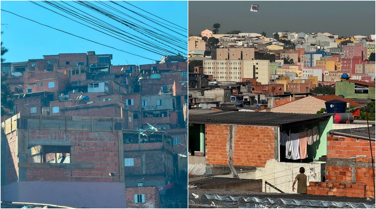
A survey by the Correios postal service has revealed that 96 neighborhood names are repeated across different regions of São Paulo, Brazil. This phenomenon is largely due to the city's historical growth and the informal way neighborhoods developed. While the municipal administration officially recognizes 96 districts and 32 subprefectures, neighborhoods exist as historical, cultural, and community reference points. This administrative structure allows for the repetition of names, unlike official street designations. One notable example is Jardim Ângela, a well-known neighborhood in the South Zone, which shares its name with another distinct neighborhood in the East Zone, located in the Sapopemba district. These two Jardim Ângelas are separated by over 30 kilometers and have developed unique trajectories and urban identities. Residents often face confusion, with some opting to use the name of a nearby, distinct neighborhood to avoid misidentification. Historically, neighborhood names often originated from landowners honoring family members, a pattern that became more prevalent in the early 20th century as urban expansion accelerated through new land subdivisions. This practice explains the prevalence of names, including female names, honoring wives, daughters, or other family members. The repetition of names underscores that neighborhoods primarily serve as affective units for residents, fostering a sense of belonging rather than functioning as official administrative divisions.
The repetition of neighborhood names in São Paulo, as highlighted by the Correios survey, illustrates a common tension between organic urban development and formal administrative structures. As cities grow, particularly through informal land subdivision and the establishment of community identities, official designations often lag behind lived realities. This situation can create practical challenges for residents and service providers, but it also reflects the deep-seated human need for place-based belonging that transcends bureaucratic boundaries. In the context of future urban planning, understanding these 'affective geographies' will be crucial for developing more responsive and inclusive city management strategies. Future AI-driven urban analysis could potentially map these informal networks and their socio-economic implications to better inform policy.
AI-generated to prompt reflection — not editorial opinion, not advice, not a statement of fact. How this works.