Satellite Images Reveal Monsoon System's 'Route Map' Across India
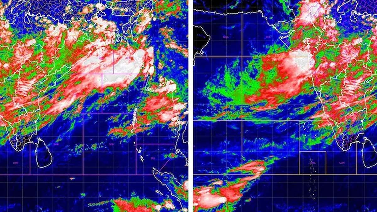
Satellite images captured by ISRO have revealed the entire monsoon system stretching from the Bay of Bengal to the Arabian Sea. This extensive weather phenomenon has significantly increased rainfall in several Indian states. The images provide a comprehensive view of the monsoon's path and intensity across the country. The monsoon system's presence indicates a shift in weather patterns, bringing renewed precipitation to regions that may have experienced dry spells. The data collected from these satellite observations is crucial for meteorological departments to forecast weather accurately. This detailed mapping helps in understanding the dynamics of monsoon systems and their impact on agriculture and water resources. The increased rainfall is expected to benefit many parts of India, particularly during the crucial agricultural season. ISRO's continuous monitoring through satellite technology plays a vital role in India's disaster management and agricultural planning.
The visualization of the monsoon system via satellite imagery highlights the critical role of advanced remote sensing in understanding complex meteorological events. This capability allows for more precise forecasting and resource management, particularly crucial for India's agrarian economy. The data provides a clear, objective basis for assessing the spatial extent and potential impact of weather systems, moving beyond localized observations. Future advancements in AI-driven analysis of such satellite data could further refine predictions, enabling proactive adaptation strategies for climate variability and enhancing national resilience.
AI-generated to prompt reflection — not editorial opinion, not advice, not a statement of fact. How this works.