Scientists Map Global Gravity Variations Using Satellite Data
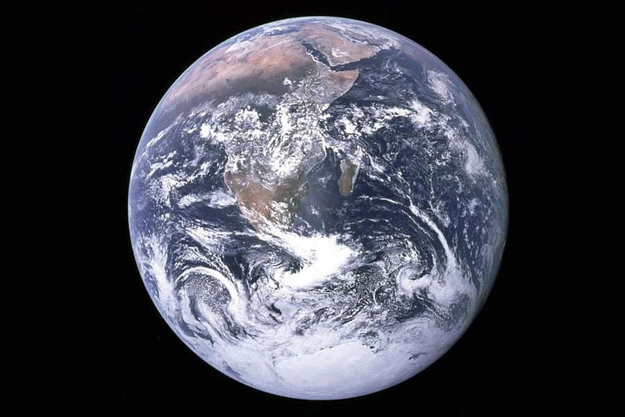
Scientists have created a detailed map of global gravity variations by analyzing subtle measurements from satellites. When a satellite passes over an area with stronger gravitational pull, it moves slightly faster. This phenomenon allows researchers to precisely map the Earth's gravitational field. The data collected provides unprecedented insights into the distribution of mass across the planet. These gravity maps are crucial for various scientific applications, including geophysics and understanding Earth's internal structure. The project highlights the power of satellite technology in advancing our understanding of fundamental planetary processes. By observing these minute changes in satellite speed, scientists can infer significant details about the planet's composition and density. This comprehensive mapping effort represents a significant step forward in Earth science.
This initiative leverages satellite geodesy to produce a granular gravity map, offering a scientific lens on planetary mass distribution. Such precise measurements are vital for understanding geophysical phenomena and internal Earth dynamics, moving beyond anecdotal observations of gravitational anomalies. The development of this map underscores the increasing capability of remote sensing technologies to provide objective, data-driven insights into complex environmental systems. Future applications could involve refining models for sea-level rise, tectonic plate movement, and resource exploration, all informed by a clearer picture of gravitational forces.
AI-generated to prompt reflection — not editorial opinion, not advice, not a statement of fact. How this works.