Tocantins River Islands Impress with Unique Geological Beauty
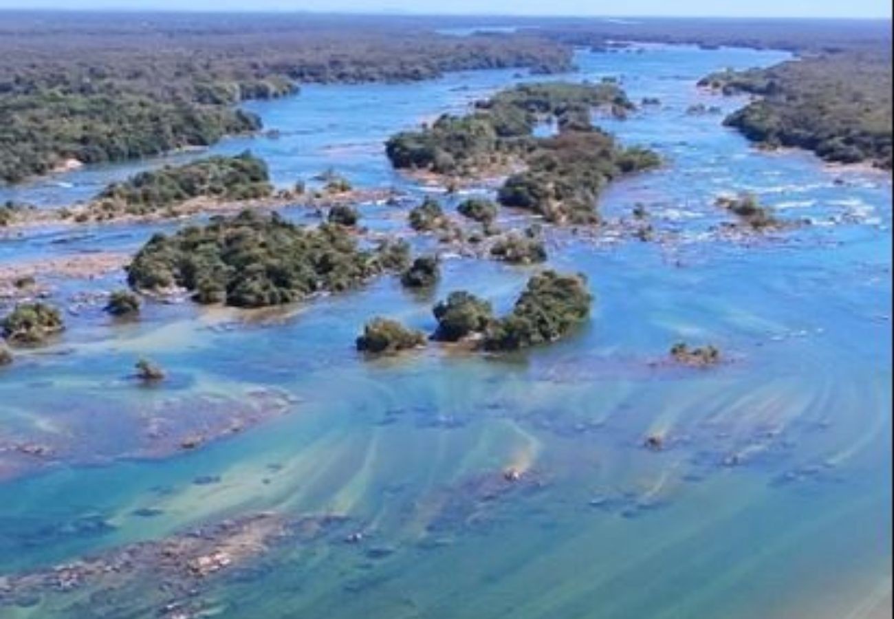
The Tropeço archipelago, a collection of islands in the Tocantins River near Peixe in southern Tocantins, Brazil, is captivating visitors with its striking natural beauty. Images captured by Guilherme Mendes highlight the area, which draws tourists during the beach season. This distinctive landscape is the result of geological formations that redirected the river's natural course, causing it to split into numerous channels and create dozens of islands.
Professor Fernando de Morais, a Geology expert from the Federal University of Tocantins (UFT), explains that the phenomenon is due to structural geological control. The river encounters rocky features aligned with regional geological structures, particularly in the Alto Tocantins region where geological influences are strongest. This area, part of the Tocantins Structural Province, is characterized by extensive rock folding and fracturing. The river's flow is compelled to deviate around more resistant geological structures, directly impacting its direction and behavior.
The archipelago formed because the river encountered a specific set of rocks with different characteristics than those upstream and downstream. These fractured geological structures caused the main river flow to fragment into multiple smaller channels, a pattern geologists term 'braided'. This braided pattern, unlike much of the Tocantins River's course, is unique to this section near Peixe. The professor notes that this geological diversity also contributes to other notable natural features in southern Tocantins, such as waterfalls and varied landscapes, reflecting the region's rich geological composition.
The formation of the Tropeço archipelago showcases the profound influence of geological structures on riverine landscapes. The river's path, dictated by underlying rock formations and fractures, illustrates a fundamental principle of geomorphology where topography and lithology shape hydrological systems. This natural phenomenon, while visually appealing, also highlights how environmental features can be altered by geological processes over time. Understanding these dynamics is crucial for sustainable land and water management, especially as human activity increases in such picturesque regions. Future planning should consider the inherent geological vulnerabilities and resilience of such braided river systems.
AI-generated to prompt reflection — not editorial opinion, not advice, not a statement of fact. How this works.