Tropical Storm Elida's Path Off Baja California: No Landfall Expected This Weekend
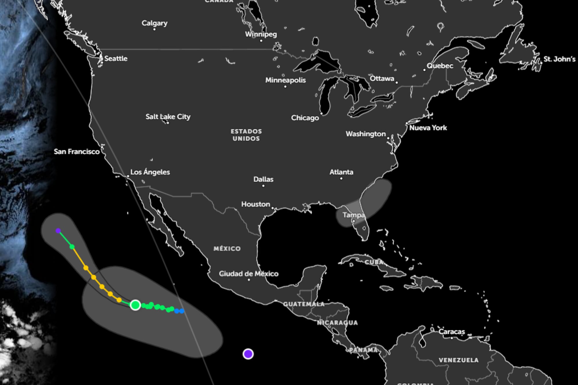
Tropical Storm Elida is currently tracking off the coast of Baja California. Forecasters are monitoring its evolution and potential path. The National Hurricane Center (NHC) has indicated that a direct impact on land over the weekend is unlikely. The storm's current trajectory suggests it will remain offshore. Residents and authorities in the Baja California region are advised to stay informed about any updates to the storm's forecast. While a landfall scenario is not anticipated, coastal areas may still experience indirect effects such as increased surf or rip currents. The NHC will continue to provide advisories as the situation develops. The storm's intensity and movement are subject to change based on atmospheric conditions.
The trajectory of Tropical Storm Elida highlights the dynamic nature of weather systems in the Pacific. While current forecasts from the NHC indicate no landfall, the inherent unpredictability of tropical cyclones means continuous monitoring is essential. This situation underscores the importance of robust early warning systems and preparedness measures for coastal communities. Future advancements in predictive modeling may further refine landfall probabilities, enabling more precise resource allocation and public safety advisories. The event serves as a reminder of the ongoing need to adapt to climate-influenced weather patterns and their potential impact on regional stability and infrastructure.
AI-generated to prompt reflection — not editorial opinion, not advice, not a statement of fact. How this works.