US Presents AI-Generated Map with African Nations Misplaced at AIDS Conference
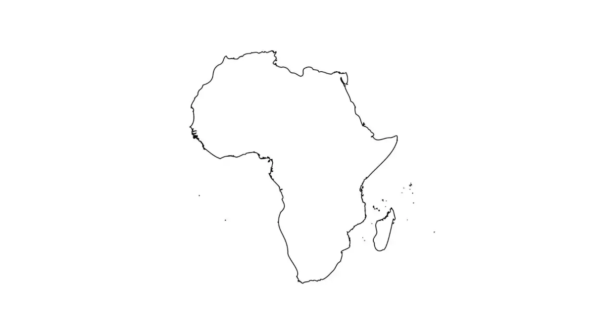
A map presented by the United States delegation at the AIDS 2026 conference in Rio de Janeiro, Brazil, contained significant geographical errors, misplacing six African countries. The conference is taking place from July 26 to July 31. An analysis conducted by Reuters uncovered an artificial intelligence watermark on the erroneous image, which was attributed to OpenAI's tools. The presentation slide featuring the flawed map was part of the US delegation's materials shared during the international event focused on AIDS research and prevention. This incident highlights potential issues with the accuracy and oversight of AI-generated content used in official capacities. The misrepresentation of African geography could have implications for discussions and understanding within the conference. Further details regarding the specific countries affected and the extent of the inaccuracies were not immediately available in the provided text.
The use of AI-generated visuals in high-stakes international forums like the AIDS 2026 conference raises critical questions about data integrity and verification processes. While AI offers efficiency, its potential for error, particularly in representing sensitive geopolitical or geographical information, necessitates robust human oversight. The incident underscores the need for clear guidelines and accountability frameworks for the deployment of AI-generated content in official communications, ensuring that technological advancements do not inadvertently undermine factual accuracy or international representation. Future considerations should include mandatory validation steps for AI outputs used in public-facing materials to mitigate risks of misinformation and maintain trust in global discourse.
AI-generated to prompt reflection — not editorial opinion, not advice, not a statement of fact. How this works.