US Shows Incorrect Map of Africa at Conference, Omitting Ivory Coast's Coastline
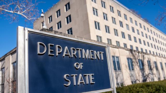
During a conference, a significant geographical error occurred when the United States presented an inaccurate map of Africa. The map notably depicted the Ivory Coast without its coastline, a fundamental geographical feature. This oversight happened during a presentation by representatives of the United States. The incident highlights a surprising lack of attention to detail regarding African geography by the US delegation. The precise nature of the conference and the specific context in which the map was displayed were not detailed in the original report. However, the error itself has drawn attention to the importance of accurate representation in international forums. The presentation of a flawed map could potentially lead to misunderstandings or misinterpretations of the continent's geography. This incident underscores the need for thorough review and verification of all visual aids used in diplomatic and informational settings.
The presentation of an inaccurate map of Africa, notably omitting the coastline of the Ivory Coast, by the US delegation at a conference suggests a potential disconnect between informational materials and geopolitical awareness. This lapse in accuracy, regardless of intent, can inadvertently shape perceptions and undermine the credibility of the presenting body. In an era where precise data and representation are paramount for effective international relations and development initiatives, such errors highlight systemic vulnerabilities in the vetting process of visual aids. Future efforts should focus on robust verification protocols for all geographical and demographic data used in official presentations to ensure accuracy and prevent the perpetuation of misinformation, thereby fostering more informed global dialogue.
AI-generated to prompt reflection — not editorial opinion, not advice, not a statement of fact. How this works.