Why Brazil's Northeast Region Faces Higher Earthquake Risk
While Brazil is generally perceived as safe from major earthquakes due to its location in the center of a tectonic plate, the Northeast region faces a higher risk. This vulnerability stems from the unique geological structure of the Earth's crust in this area, known as the Borborema Province. The crust here is significantly thinner, ranging from 30 to 35 kilometers thick in many parts, compared to the global average of over 40 kilometers. This thinning is believed to have originated during the Cretaceous period, approximately 136 to 65 million years ago, when the separation of Africa and South America caused the crust in this specific region to stretch. This geological stretching created a thinner, more fragile crust susceptible to seismic activity.
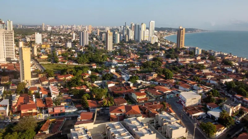
Experts explain this phenomenon using analogies like melted cheese stretching or a cracked eggshell, illustrating how constant movement and accommodation of tectonic plates generate tension. While major earthquakes often occur at plate boundaries, the Northeast's geological makeup, characterized by ancient rocks and numerous geological faults, facilitates the transmission of seismic waves. The largest fault in the region is Samambaia in Rio Grande do Norte. A significant event occurred in November 1986 in João Câmara, Rio Grande do Norte, when a magnitude 5.1 earthquake caused widespread damage, destroying or partially damaging about 4,000 homes and displacing 10,000 people.
This seismic activity is attributed to the combination of a thinner crust and the presence of pre-existing ancient faults. These faults, weakened by millions of years of geological processes and intraplate stresses, can be reactivated by the constant accommodation of forces within the South American plate. A comprehensive study by the National Institute of Science and Technology of Tectonic Studies confirmed the thinner crust in the Borborema Province, using seismic wave propagation measurements from controlled explosions. The Global Seismic Hazard Assessment Program classifies the Northeast's northeastern corner as having a moderate to high risk of seismic events.
The geological conditions in Brazil's Northeast, specifically the thinner crust and prevalence of ancient faults within the South American plate, create a unique intraplate seismic risk. While not located on a major plate boundary, the region's susceptibility is amplified by its geological history of crustal stretching and the efficient transmission of seismic energy through its ancient rock formations. This highlights how tectonic forces can manifest seismic activity even in continental interiors, driven by stresses propagating from plate boundaries and internal crustal weaknesses. Future urban planning and building codes in the affected areas should consider these specific geological vulnerabilities, integrating seismic resilience measures informed by ongoing geological research into intraplate seismicity.
AI-generated to prompt reflection — not editorial opinion, not advice, not a statement of fact. How this works.