Wuhan Launches Nationwide First Drone Network for City-Wide Low-Altitude Monitoring
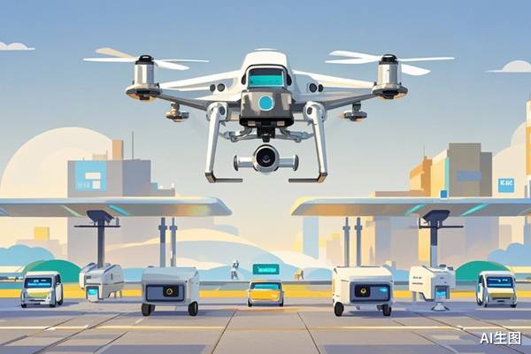
Wuhan has established the first comprehensive low-altitude remote sensing monitoring network for a megacity in China, dubbed "City's Intelligent Eyes." This system utilizes 146 automated drone airports, enabling drone deployment within five minutes across most of the city, excluding no-fly zones. The network consists of drone monitoring, a cloud control platform, AI algorithms, and industry applications, leveraging high-precision spatial-temporal information grids for intelligent scheduling, automatic route generation, and obstacle avoidance. It supports automated flight modes like one-click direct flight and continuous flight. This infrastructure allows multiple government departments to share drone resources through a unified platform, while maintaining independent data and permissions, thus avoiding redundant construction. Currently, "City's Intelligent Eyes" serves 16 government departments and is applied in traffic management, environmental protection, forest fire prevention, and urban operations. Traffic management has seen mature applications, with drones assisting in accident response and congestion monitoring. For instance, drones have been used in over 400 high-level road accidents since August last year, with remote guidance resolving about 30% of them without on-site police presence. Environmental monitoring includes regular inspections of pollution sources and air quality, enhanced by AI for water status analysis. In forest fire prevention, drones are used for patrols, verification, and post-disaster assessments, integrating routine checks with emergency response. The drone network is also connected to Wuhan's integrated urban management platform, merging with 3D city maps and operational data to provide crucial aerial sensing capabilities for event support and emergency command. This initiative by Wuhan offers a model for other megacities in developing shared low-altitude public infrastructure as the low-altitude economy transitions to large-scale construction.
Wuhan's deployment of a city-wide drone monitoring network represents a significant step in integrating low-altitude airspace into urban governance and infrastructure. This initiative addresses the challenge of efficient resource allocation in megacities by creating a shared, automated operational framework. The system's design, emphasizing unified construction and multi-departmental sharing, aims to optimize public spending and operational effectiveness. By leveraging AI for tasks such as traffic management and environmental monitoring, the network not only enhances real-time situational awareness but also establishes a foundation for data-driven urban planning. The long-term implications involve a shift towards automated public services and the potential for greater efficiency and responsiveness in emergency situations. Future developments may focus on expanding AI capabilities for predictive analytics and refining the regulatory framework to accommodate increasingly complex low-altitude operations.
AI-generated to prompt reflection — not editorial opinion, not advice, not a statement of fact. How this works.